| This is the Sleeping Ute.
With his head on the right, then his arms folded over his chest, then the
body and legs on the left. The Ute people believe he will awaken some day to
win their battle. |  |
 |
This is the first pillar we saw as we approached Monument Valley though we
are not there yet. In retrospect, it is notable for the colour of the rock
and surrounding debris. |
| Several times we passed a
wash where a river has obviously run at some time, and may still run today,
but for the moment it is dry. | 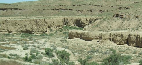 |
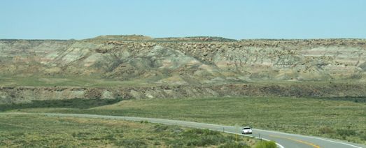 |
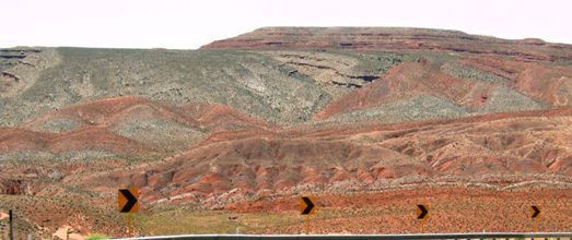
Here we started to see a mix of colours in the rocks. We had found this sort
of formation rather more a bit further north in 2005 at Capitol Reef in
Utah, but this is just as spectacular. |
| And so we came to Four
Corners, the only place in the US where four states meet. The Navajo have
reservation land in three of these corners, the Ute have land in the
Colorado corner. Thus the monument is mainly on Navajo land. We did not
begrudge them the $3 per person entry fee. |  |
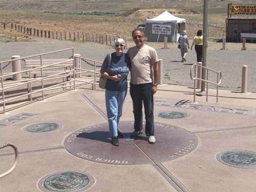 |
We found another French couple to take our photograph with a foot in each of
Utah, Colorado, New Mexico and Arizona. |
| A brief moment when the
marker was clear of people. There are stalls where various authentic crafts
are on sale from the Navajo and Ute peoples. | 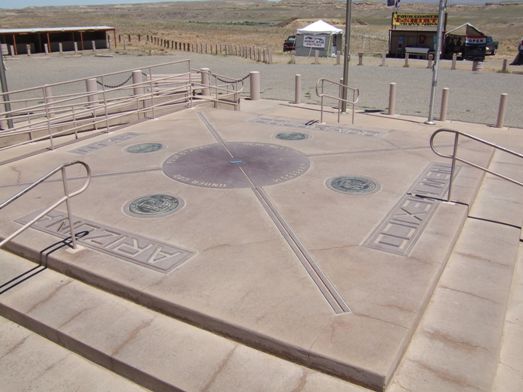 |
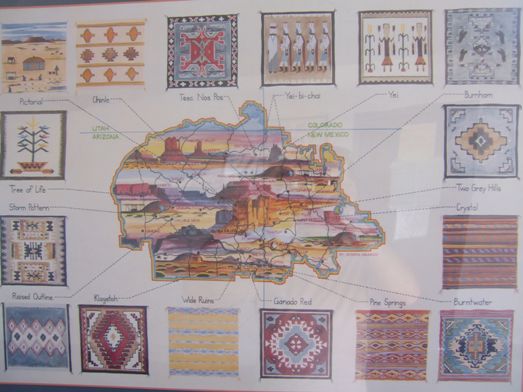 |
The Navajo reservation is known as Navajoland and covers quite a large area
mainly in Arizona and New Mexico. Over 175,000 Navajo live in the
reservation making up about 2% of the Arizona population. From what we could
see they do not live the high life. This is a poor area although many of the
natives we met were very friendly. I was surprised at the number who had
very English names. |
| We travelled very briefly
in all four states but eventually found our way into Utah via the town of
Bluff. It probably should be called Bluffs because there are several
substantial rock formations around the town. | 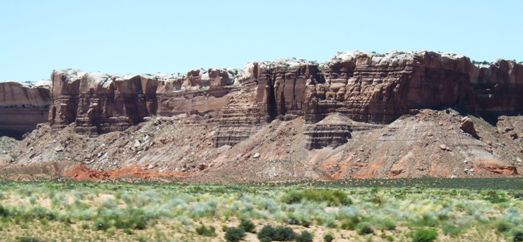 |
 |
Then we were heading south west towards Monument Valley itself and we
started to meet the rock colours and formations which have made this one of
the most photogenic places on earth. |
| This is a road which is
marked as being of scenic interest and the colours of the landscape
certainly justify this marking. | 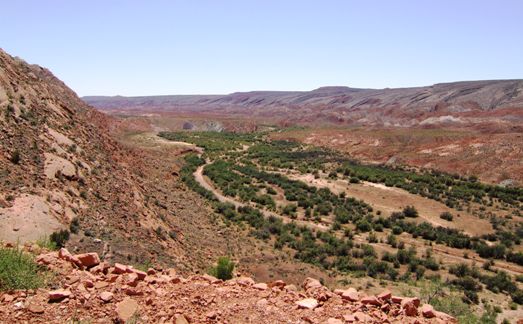 |
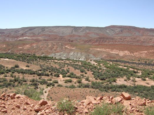 |
The red rocks are particularly vivid but mixed with the greys certainly
makes for interesting travel. |
| We started to see the
pillars which are the trademark of Monument Valley. The 'skyline' is not
clouds but is more rock cliffs further away. |  |
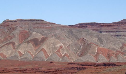 |
Every time you turn a corner or crest a ridge there is another palette of
colours, each more spectacular than the last. |
| It isn't all red. There
are some grey rocks, but even these create fascinating shapes. | 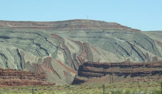 |
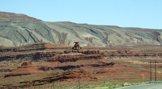 |
The little (not really so little) rock in the foreground is known as Mexican
Hat. The nearby town is also called Mexican Hat. This spot has one of the
most striking colour contrasts along this road. |
| A close up of the rock.
Many of the rocks we pass from here have names. We are now going down the
edge of Monument Valley. |  |
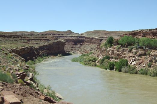 |
A brief change of scene as we cross the San Juan river. There are a few
rivers here but they are few and far between. |
| Then on the final leg to
Monument Valley. The towers are typical of the landscape made famous by lots
of Hollywood movies. | 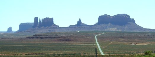 |
 |
The rock formations are truly amazing and tower into the sky. |
| The problem with the late
afternoon and travelling west is that the best views are behind you. |  |
 |
There are just dozens of these pillars. We are heading for the only campsite
in the area. Gouldings used to be a trading post but today is the only lodge
and campground in the area.. |
| The view from the
campground as the sun sets on Monument Valley. |  |
|